source: http://www.kuijsten.de/atlas/ze/borssele.html (Historische Gemeente Atlas van Nederland, J. Kuyper 1865-1870)
The village Borssele was designed on the drawing board around 1616 by 'dijkgraaf' (someone in charge of the watermanagement) Cornelis Soetwater, who was also the mayor of nearby Goes. The design marked the re-diking of this area in the province Zeeland, which had been flooded.
For a long time it was unclear who had been the designer and even the name of the famous Simon Stevin was suggested.
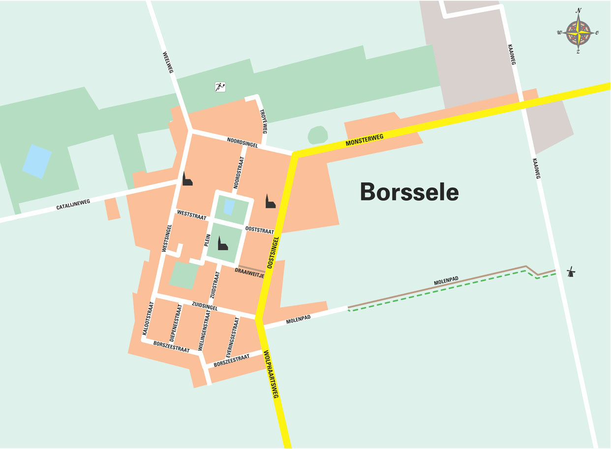
Cornelis Soetwater chose a remarkably rational, rectangular shape for his design, with four streets leading to a central rectangular square. In the names of the streets the straight forward rationality is echoed: they four streets are named after the wind directions and the square is simply called 'plein' (square).
Equally remarkable is how the direction of the rectangle of the village is twisted compared to the orthogonal grid of the surrounding polders.

)
)