Hellevoetsluis, Netherlands, Europe
 
 
Year1600latitude: 51° 49'
longitude: 4° 7'
Period1600s
Initiator(s)Minister Hans Gruijters
Planning organizationHet ministerie van Volkshuisvesting, Ruimtelijke Ordening en Milieubeheer (VROM)
Nationality initiator(s)Netherlands
Designer(s) / Architect(s)Mr. Nuhn
Mr. Ger van Sliedrecht
Design organizationAfdeling “het project bureau” or “openbare werken” binnen de gemeente.
Inhabitants39,717 (2008)
Target population
Town websitehttp://www.hellevoetsluis.nl/
Town related linkshttp://hellevoetsluis.ophetnet.nl/
http://www.plaats.nl/hellevoetsluis/
http://www.plattegronden.nl/hellevoetsluis/index.html
http://nl.wikipedia.org/wiki/Hellevoetsluis
http://www.vanpopering.com/nl/hsluis%20eo/hellevoetsluis.html
http://streekarchiefvpr.nl/
Literature- Zeehelden in Hellevoetsluis , ISBN-13: 978-90-5994-217-2

type of New Town: > scale of autonomy
New-Town-in-Town
Satellite
New Town
Company Town
> client
Private Corporation
Public Corporation
> policy
Capital
Decentralization
Industrialization
Resettlement
Economic


source:


source: http://www.kuijsten.de/atlas/zh/hellevoetsluis.html


source: Grote Topografische Atlas van Nederland


source:


source:


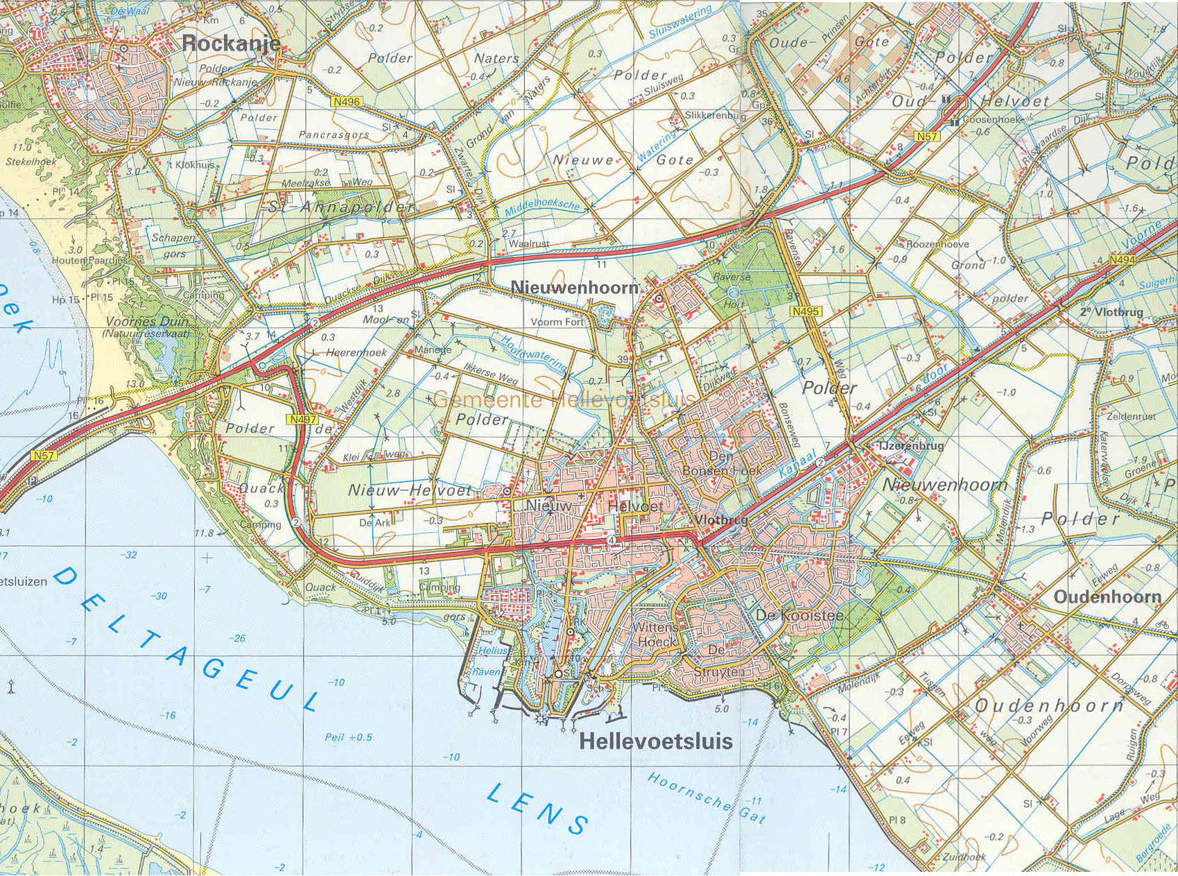
In 1960, the old navy town merged with the adjacent municipalities Nieuwenhoorn and Nieuw- Helvoet, and in the 70s Hellevoetsluis was designated as a Growthcentre, to become the second residential town on Voorne-Putten. Hellevoetsluis got many new residents. Especially people who work elsewhere in the region like Botlek Europoort-Rotterdam, but by the well connected opted for the peace and area of Hellevoetsluis.

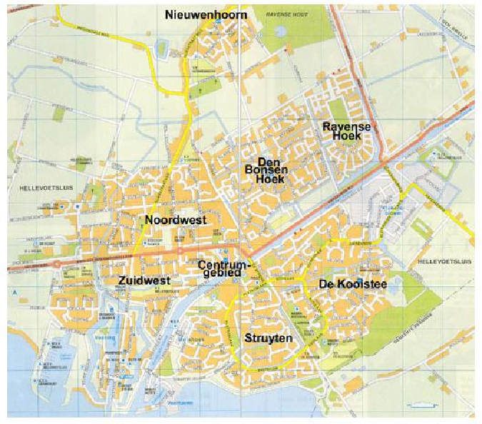
Since that time, there are many new districts created, the Struyten, the Kooistee, den Bonsen hoek, the Ravense hoek; broad-based districts in the middle of the green and close to the water, a nice clean living and recreational environment! If Growthcentre doubled in the 70s, the number of inhabitants and many facilities were achieved for them.

source:

2008 - 2024 disclaimer