|
|
Dodoma, Tanzania, Africa |
|
|
|
|
|
|
|

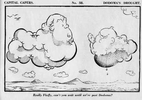
Dodoma was considered for a long time as possible capital of Tanzania but it was not implemented until after the independence where it was decided that Dar es Salam was too isolated to serve as the nations capital and that its strength as port town was in decline following the leave of the British. Dodoma was to serve the newly independent country not only as capital but also as image of the new nation state. The move of capital was also intended to encourage development in the sparsely populated middle region. It was elected capital in 1973. In 1983 two government institutions were established: Ministry of Capital Development and a Capital Development Authority. They should coordinate the move of the capital. The Ministry of Land, Housing and Urban Development had in 1974 contacted contractors for proposals for the new capital. These were Doxiades Associates, Engineering Consultants from Japan, Planning and Development Company from West Germany and the selected firm Project Planning Associates, Canada. Companies from Pakistan, Australia and UK assisted at searching for water. Later search for construction materials was begun and an Indian Company proposed a brick and tile factory to be build. Finally it was decided what master plan to follow. It was seen to express Tanzania's policy of self-reliance and socialism. It was seen to have a social frame work within which the government institutions would be placed. All administration would be placed at the heart of the new capital; around it would four clusters be placed, each with its own community center. The villages of 7.000 each would be linked to each other by public transport systems. As it was a modular model a unit-by-unit growth would be possible. Between the villages, the communities, and the national areas there would be left spaces for small agricultural productions. Agriculture was thus thought to remain a part of the urban structure. Similarly rocks, hills and other natural elements were meant to remain central in the city rather than being suppressed. The president Nyerere called the city a 'man-centered city' thus indicating that it was not only central to the country but also to the Tanzanian population. Urban villages were meant to be the long-term modules for city expansion. They were also seen to allow specific African lifestyles such as sharing, co-operation and consideration towards others would be maintained. They were also to provide primary schools, community centers, shops, post office, clinics etc for their inhabitants. Each cluster of four villages - C-centers - was to share a communal center located at equal distance from the villages. These would provide bank, service centers, secondary schools etc. in addition to the C-centers industrial B-centers were proposed to strengthen the commerce and industry. They were to be placed in convenient distance for the workers. The A-center of the urban structure was the National Capital Center with shops, business centers and entertainment places. The master plan also included other buildings of the capital. In some selected areas, because of their townscape qualities, hospitals or other institutions were built. Also the National Parliament was given a picturesque site. The master plan also included an ambitious transportation plan with separate bus roads planned to be placed no further than 1 km from any home. The key words were safety, efficiency, convenience and economy. Other vehicles were to use arterial roads outside the resident areas. Pedestrians and cyclists should use networks of footpaths and cycle ways connecting all areas of the city. The old town center was given a central place in the planning scheme. The heartbeat for the growing city was thus thought to be the old town center. It therefore went through a regeneration of old houses and a general upgrade of residential areas, roads etc. By 1979 it became evident that the target of the program was not being meet. There had been a serious drought and the economy had experienced serious setbacks. By '79 only 10 % government institutions had moved to Dodoma. The master plan was structured hierarchical in A, B, C, centers and finally D centers in the villages. The D centers were surrounded by the TANU cells (picturesque sites) each comprising of ten family households. The plan was thus inspired from the French urbanist Gaston Bardet and his 'Le Nouvelle Urbanism' from 1948. Dodoma did not become the capital until 1995 - So there must have been only a partial implementation of the original planning scheme.
source: https://www.researchgate.net/publication/228431758_The_planning_of_the_new_capital_of_Tanzania_Dodoma_an_unfulfilled_dream
http://www.pvmm.com/cd/dd/dodoma/drawings.htm |
|
2008 - 2024 disclaimer
|

